
Lancaster County ZIP Code Coverage
The table is the complete Census 2020 ZCTA-to-Lancaster County land-overlap baseline. A ZCTA is a Census geographic approximation of ZIP-related territory. It does not promise that every address in a row is in Lancaster County or that the number is a USPS delivery ZIP. Postal-community labels are used only where the research established one. Use an exact address with USPS and the County map before treating a row as a local jurisdiction.
| ZIP | Areas Covered | Post Office | Notes |
|---|---|---|---|
| 17022 | Elizabethtown area | Elizabethtown postal community | Northern County overlap; verify street delivery. |
| 17073 | Near Lebanon County | Not established | Boundary-only overlap; do not assume County delivery. |
| 17501 | Akron | Akron postal community | Akron Borough area. |
| 17502 | Bainbridge | Bainbridge postal community | Conoy and northwestern area. |
| 17504 | Bausman area | Bausman postal community | Small ZCTA overlap; verify exact address. |
| 17505 | Bird in Hand | Bird in Hand postal community | East County visitor and rural area. |
| 17506 | Blue Ball | Blue Ball postal community | East County. |
| 17507 | Bowmansville | Bowmansville postal community | Eastern County and county-line area. |
| 17508 | Brownstown | Brownstown postal community | Ephrata and West Earl vicinity. |
| 17509 | Christiana | Christiana postal community | Southeastern County. |
| 17512 | Columbia | Columbia postal community | Susquehanna river borough area. |
| 17516 | Conestoga | Conestoga postal community | South-central County. |
| 17517 | Denver | Denver postal community | Northern County. |
| 17518 | Drumore | Drumore postal community | Southern County. |
| 17519 | East Earl | East Earl postal community | Eastern and northeast County. |
| 17520 | East Petersburg | East Petersburg postal community | Central-north County. |
| 17522 | Ephrata | Ephrata postal community | Ephrata area. |
| 17527 | Gap | Gap postal community | Eastern County. |
| 17529 | Georgetown area | Georgetown postal community | Small eastern and southeastern overlap; verify. |
| 17532 | Holtwood | Holtwood postal community | Southwest and southern County. |
| 17534 | Intercourse | Intercourse postal community | Eastern County. |
| 17535 | Kinzers | Kinzers postal community | Southeast County. |
| 17536 | Kirkwood | Kirkwood postal community | Southeast County. |
| 17538 | Landisville | Landisville postal community | Central-west County. |
| 17540 | Leola | Leola postal community | East-central County. |
| 17543 | Lititz | Lititz postal community | North-central County. |
| 17545 | Manheim | Manheim postal community | Northwest County; crosses toward Lebanon County. |
| 17547 | Marietta | Marietta postal community | Northwest river area. |
| 17550 | Maytown | Maytown postal community | Northwest County. |
| 17551 | Millersville | Millersville postal community | Central and southwest County. |
| 17552 | Mount Joy | Mount Joy postal community | Northwest County. |
| 17554 | Mountville | Mountville postal community | West-central County. |
| 17555 | Narvon | Narvon postal community | Eastern County. |
| 17557 | New Holland | New Holland postal community | East County. |
| 17560 | New Providence | New Providence postal community | South County. |
| 17562 | Paradise | Paradise postal community | East County. |
| 17563 | Peach Bottom | Peach Bottom postal community | South County. |
| 17565 | Pequea | Pequea postal community | South-central County. |
| 17566 | Quarryville | Quarryville postal community | South County. |
| 17568 | Refton | Refton postal community | South-central County. |
| 17569 | Reinholds | Reinholds postal community | Northern and eastern county-line area. |
| 17570 | Rheems | Rheems postal community | Northwest and north County. |
| 17572 | Ronks | Ronks postal community | East County. |
| 17576 | Smoketown | Smoketown postal community | East County. |
| 17578 | Stevens | Stevens postal community | North and east County. |
| 17579 | Strasburg | Strasburg postal community | East and southeast County. |
| 17581 | Terre Hill | Terre Hill postal community | Northeast County. |
| 17582 | Washington Boro | Washington Boro postal community | Southwest river area. |
| 17584 | Willow Street | Willow Street postal community | South of Lancaster City. |
| 17601 | Lancaster | Lancaster postal community | City and inner-suburban delivery geography; not City-limit equivalent. |
| 17602 | Lancaster | Lancaster postal community | City, eastern urban, and suburban geography; verify municipality. |
| 17603 | Lancaster | Lancaster postal community | City, western urban, and suburban geography; County Government Center ZIP. |
| 17606 | Lancaster-area special overlap | Not established | Small overlap; USPS verification required. |
| 19310 | Atglen-area boundary | Not established | Chester County-facing overlap; verify. |
| 19344 | Honey Brook-area boundary | Not established | Chester County-facing overlap; verify. |
| 19362 | Paradise and Oxford-area boundary | Not established | Boundary ZCTA; do not infer County or City from label. |
| 19363 | Oxford-area boundary | Not established | Boundary overlap; verify. |
| 19501 | Adamstown area | Adamstown postal community | Berks County-facing overlap. |
| 19540 | Mohnton area | Mohnton postal community | Berks County-facing overlap. |
| 19543 | Berks County-facing boundary | Not established | Boundary-only or limited overlap; verify. |
| 19551 | Robesonia area | Robesonia postal community | Berks and Lebanon-facing boundary overlap. |
Rows marked boundary, small overlap, or not established are deliberately cautious. They show the Census relationship, not a claim about a post office, an individual delivery route, or local government jurisdiction.
Lancaster County ZIP Delivery Checks
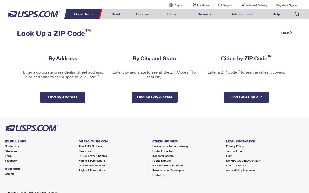
Use the USPS ZIP Code Lookup to verify the delivery ZIP for a complete address or to check the city information associated with a ZIP. That is the postal step. Then use a County parcel record and map to identify the situs municipality and parcel. The sequence matters because a delivery name can cross a borough, township, or City line.
The USPS address-to-ZIP and ZIP-to-city tool provides the delivery-verification screen for this Lancaster County postal workflow.
USPS answers a delivery-routing question, not a title question. When land identity matters, retain the property record's parcel identifier and compare the recorded legal description. A mailing address is also distinct from a site's physical address, so it should not be used to settle a jurisdiction question.
Lancaster County Postal Search Limits
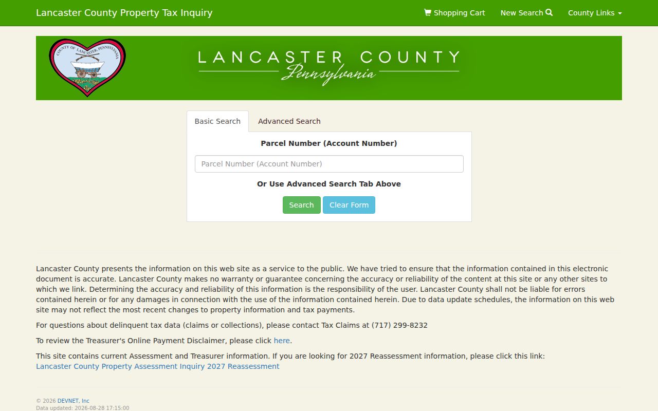
The inspected Lancaster County Property Tax Inquiry form has no ZIP field. wEdge is address-, parcel-, owner-, sale-, and structure-oriented. It is still the useful property step after USPS narrows an exact address, but it cannot create a countywide ZIP search. The display can lag current changes, and its owner mailing field is correspondence information rather than proof of location.
| wEdge field | What it can narrow | ZIP availability |
|---|---|---|
| Parcel Number (Account Number) | A known parcel | No ZIP field |
| Owner Name | Owner-name variants | No ZIP field |
| House Number (Low) / (High) | Address range | No ZIP field |
| Street Name | Street address | No ZIP field |
| Sale Price / Sale Date | Sale-range filters | No ZIP field |
| Year Built / Square Footage | Structure filters | No ZIP field |
The assessment address and advanced search screen shows the fields available after a ZIP has been verified elsewhere.
LanCo View is likewise street and parcel oriented. It displays parcels, roads, imagery, acreage, dimensions, and deed references, but the County did not document a ZIP-wide public search in its free viewer.
Lancaster County Postal Workflow
A ZIP can orient an address search, but it should not be treated as a field that every local record system accepts. Use an exact delivery result to narrow the postal geography, then move from address to parcel and from parcel to recorded land reference. This approach prevents a town name, a ZCTA edge, or a similar street number from being mistaken for a jurisdiction match.
- Verify the full delivery address with USPS and keep the returned ZIP with the search date.
- Search the address in wEdge and record the parcel or account number, situs, owner-of-record label, and displayed update date.
- Open the parcel in LanCo View 2.0 to check municipality, roads, parcel shape, acreage, dimensions, and deed reference.
- Use the reference in the Recorder's public search when a legal description or recorded instrument is needed to confirm the land identity.
- Once a ZIP has narrowed the area, use the Lancaster County Street Directory for the address-level record trail.
Voter access does not supply a ZIP-wide shortcut. Pennsylvania's individual status service is for a person, while the County's public street-list channel is arranged by street and subject to identification, a signed statement, purpose restrictions, and a prohibition on posting list data online.
Lancaster County Boundary ZIPs
Lancaster City is principally associated with 17601, 17602, and 17603, but each extends beyond the City line. They describe City and suburban delivery geography, not municipal limits. The County has 60 municipalities and a broad rural delivery network, so a ZIP-labeled Lancaster address is not automatically City property. Confirm the municipality through the parcel and map record.
Several rows need the same care at County edges. 17073 is a Lebanon County-side boundary overlap. The 19310, 19344, 19362, and 19363 entries face Chester County. The 19501, 19540, 19543, and 19551 entries face Berks or Berks and Lebanon. For those areas, exact-address USPS verification and County-map review must happen together.
Lancaster County Historic ZIP Geography
Modern ZIP assumptions are especially weak for historic address research. The County historical map viewer overlays present parcels and roads with warrant-era and 1824, 1864, 1875, and 1899 maps. It is the better tool for reconciling an earlier road, tract, or place name with a current parcel. A modern postal number may help orient the search, but it does not translate old geography by itself.
Use the historical layer with the deed legal description and municipality. Lancaster City's official neighborhood map is explicitly unofficial and was last updated in 2017, so it should not replace a parcel, municipal boundary, or recorded description. This map geography is useful for family-history and property-history questions because it preserves the difference between postal service areas and the places described in older records.
Lancaster County Postal Terms
Postal terms are helpful when used for their actual purpose. None of the following is a substitute for an assessed parcel or a deed's legal description.
- ZIP
- A USPS delivery-routing code, not a municipal or property boundary.
- ZIP+4
- An added four-digit delivery refinement for a more specific address or delivery point.
- PO Box ZIP
- A ZIP associated with post-office-box delivery; it does not identify a physical property address.
- Unique ZIP
- A ZIP assigned for a particular organization or delivery arrangement, when USPS uses one.
- Carrier route
- A mail-delivery sequence used by USPS; it is not a County parcel or election district.
- ZCTA
- A Census statistical geography built to approximate ZIP-related areas, including land-overlap edges.
Use the delivery label to narrow an inquiry, then keep the returned address, parcel identifier, municipality, and deed reference as separate facts. That simple distinction prevents postal routing from being mistaken for a property boundary.
Lancaster County ZIP Record Limits
The Lancaster County postal directory is a geographic starting point, not a resident roll. A ZIP cannot establish who is at an address, who owns the land, whether an address lies in a municipality, or which record controls a legal boundary. Assessment fields can lag, map geometry is not a survey, and a recorded document may use a legal description instead of a familiar street label.
Use each custodian for its own record: USPS for delivery, Assessment for the parcel card, GIS for mapped context, and the Recorder for the instrument and legal description. If a discrepancy remains, ask the responsible office rather than choosing the field that seems most convenient. Do not use address information to stalk, harass, or harm anyone.
Note: County ZIP entries describe 2020 ZCTA land overlap; USPS remains the source for exact delivery confirmation.