
Trace a Lancaster County Street
A street-by-street search is a record trail, not a household roster. Start with a complete address in the county assessment display and preserve the result's parcel or account number, situs, owner formatting, mailing-address lead, sales details, and update date. The situs is the physical property address. A mailing address is where correspondence goes. Either can differ from the other, and neither establishes who is presently at the location.
- Enter the house number and street in Lancaster County Property Tax Inquiry, then record the parcel identifier and owner of record.
- Open the same parcel in LanCo View 2.0. Check its road, shape, acreage, dimensions, municipality, and displayed deed reference before comparing neighboring lots.
- Use that reference in the Recorder's current index. For an older transfer, search the historic grantor or grantee index with the party name and the correct year or volume range.
- For a regulated street-list question, contact the Voter Registration & Board of Elections with the street, municipality, and precinct if known. Identification and a signed use statement are required.
- For a past address association, consult an edition-specific criss-cross or reverse directory. It can connect an address to a printed entry at that edition's date, not prove a current household.
Keep the parcel number with every later note. On a long road, a street number alone can match the wrong municipality or property. The sequence also makes contradictions visible: a deed can be recorded before the assessment card changes, and a correspondence address can be updated without changing title.
Lancaster County Address Search Fields
The Office of Assessment maintains more than 195,000 parcels. Its free wEdge display is the county's practical starting point for an address search because it accepts both parcel and address inputs. It is a current Assessment and Treasurer display, though the County warns that updates can lag. Use the basic form for an account number and the advanced tab when an owner name or street segment is the better starting fact.
| Search field | Use on a street search | Format or limit |
|---|---|---|
| Parcel Number (Account Number) | Find one known parcel | Basic-search text field |
| Owner Name | Check name variants after an address result | Advanced-search text field |
| House Number (Low) / (High) | Scan an address range | Numeric range fields |
| Street Name | Locate a road or segment | Text field |
| Sale Price / Sale Date | Narrow by recorded sale information | Min/max pairs; date uses MM/DD/YYYY |
| Year Built / Square Footage | Narrow by structure details | Numeric min/max pairs |
The wEdge assessment search shows the address and advanced-filter interface used for a Lancaster County address query.
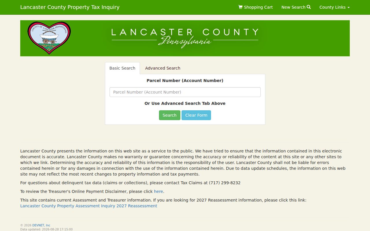
No dedicated ZIP field appears on the inspected form. Street name and house-number fields are the correct way to narrow a segment, while parcel, owner, sale, and structure fields support a more exact comparison. Treat any displayed mailing address as correspondence information rather than evidence of occupancy. Record the display date and the owner-name version used. Those details make later corrections or changed parcel cards easier to reconcile.
Note: Assessment staff can address parcel, reassessment, and correction questions when a current display conflicts with the underlying record.
Lancaster County Parcel Map Checks
LanCo View 2.0 gives a Lancaster County address search its map context. The free County viewer can search and show parcels, roads, aerial imagery, acreage, dimensions, and a deed reference. Select the property, compare the road alignment, and pan along the street rather than assuming an adjacent-looking lot has the same address pattern. The top-right information panel provides the County's application tutorial.
Map lines are useful geography, not survey proof. The County describes the visible parcel boundary as a graphical representation. When a boundary affects the record trail, compare the deed's legal description and obtain a survey or legal guidance for a boundary conclusion. The free viewer does not promise a bulk export of named owners, and County GIS handles named-owner parcel data separately from its free geometry offerings. A search date helps distinguish a changed map layer from a changed assessment field when the same address is checked again.
Lancaster County Street Deed Trail
The Recorder of Deeds public records search follows the parcel stage. Search a current recorded instrument around the transfer date, then read the image rather than relying on an index snippet. A recorded document can be a conveyance, mortgage, release, easement, power of attorney, or correction. Record its type, grantor, grantee, execution date, recording date, book and page or instrument number, and legal description before using it as a link to the next record.
Historic Infodex covers deeds from 1729 through 1980. Choose Search Records as Guest, select Search by Name, enter surname before first name, choose the party role and year or volume, then use Go To Document with book letter or volume and page. Recording may lag execution. Check nearby ranges and the Unrecorded Deed Index, which covers 1735 through 1985, when the expected transfer is absent.
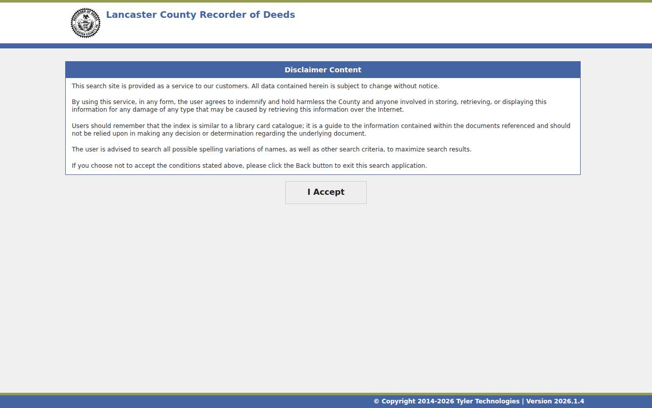
The Recorder search entry screen requires acceptance of its disclaimer before current records are searched.
A legal description is often steadier than a familiar street label. Lot numbers, tract calls, subdivision references, and book/page citations help distinguish properties when a road name or number changes over time.
The online index is not the final route for a certified or corrected record. The Recorder lists copies at $0.25 per page and certification at $10; use that office for an official copy, an indexing correction, or an image question. The County Archives is the backup when an older record needs a research-room check. It offers on-site public computers and accepts email or mail requests with prepayment. Electronic Archive copies cost $5 for up to 20 images or pages, plus $0.50 for each additional image or page, although fragile material may not be available.
Lancaster County Voter Street Lists
Lancaster County's Registration Commission furnishes street lists, arranged under Pennsylvania law by streets and house numbers or by a method that identifies residence location. This is a controlled public-record channel, not a browseable online street list. Under 25 Pa.C.S. §§ 1403–1404, an inquirer must provide identification and a signed statement that the material will be used only for elections, political activities, or law enforcement. The state request form also says voter-list data may not be posted online.
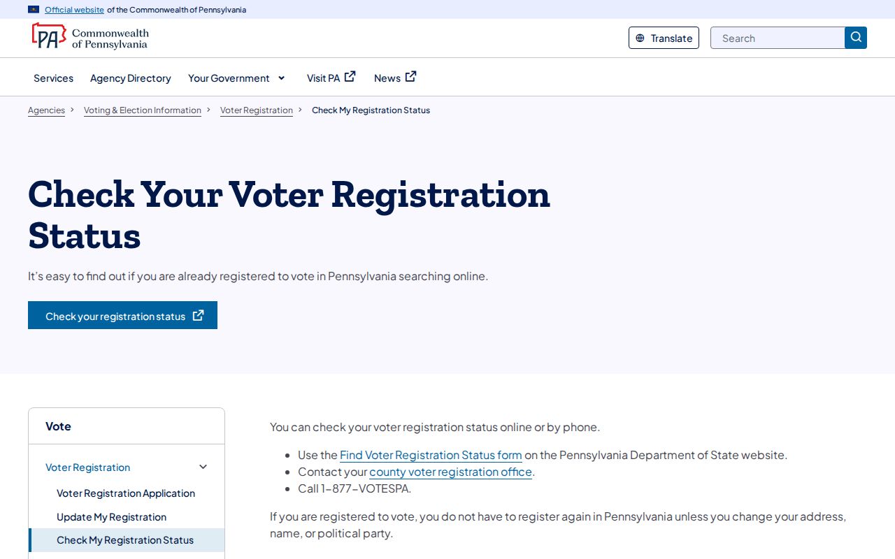
The individual channel is different. Pennsylvania's Check My Registration Status service directs people to online, county-office, or 1-877-VOTESPA options. The live form was protected during the research inspection, so its fields are not claimed here. The County's Voter Registration & Board of Elections is the person-assisted fallback at 150 N. Queen Street, Suite 117, Lancaster, and can be reached at 717-299-8293 during weekday business hours.
The official voter-status landing page documents the verification channels available to an individual.
A street list can organize permitted voter-record categories, but it does not establish every adult at an address, a present location, or ballot choices. An inactive status also cannot be treated as proof that someone has moved.
Lancaster County Historic Map Geography
When a modern street number does not fit an older address, use the County historical map viewer before deciding that the records conflict. It overlays modern parcels and roads with warrant-era, 1824, 1864, 1875, and 1899 mapping. Those layers can reveal a changed road alignment or older tract geography, but they do not name every resident.
The County's Historic Resource Inventory is a second place-based tool for most pre-1965 buildings in 14 listed boroughs. It accepts parcel number, house number, street direction, street name, municipality, historical function, National Register determination, and original-year-built range. It adds building context to a Lancaster County address-history search, not a people record.
Lancaster County Address Records
Each Lancaster County street record has a distinct evidentiary role. Use the parcel identifier to carry the inquiry from assessment to map and deed. Use an address only to find the edition-specific historic listing. The table keeps those roles separate so a document party, an owner of record, and a printed address association are not collapsed into a single claim.
| Address record | Custodian | What it supports | Channel and limit |
|---|---|---|---|
| wEdge assessment | Office of Assessment | Parcel, owner, situs, mailing lead, sales, and structure data | Free online search; display can lag updates |
| LanCo View | County GIS | Parcel geography, roads, imagery, dimensions, acreage, deed reference | Free viewer; visible lines are not a survey |
| Recorder index | Recorder of Deeds | Recorded instrument parties, dates, book/page, legal description | Current public search and office copy route |
| Historic deed tools | Recorder and County Archives | Grantor/grantee and historic document references | 1729–1980 Infodex; unrecorded index 1735–1985 |
| Street-list channel | Voter Registration & Board of Elections | Controlled street arrangement of permitted voter information | Inspection or request procedure with statutory safeguards |
| Historic directories | LancasterHistory and local collections | Printed address association at an edition date | Historic, edition-specific evidence only |
The County Archives is the offline path for older material. Its research room is open weekdays from 8:30 a.m. to 5:00 p.m., with no pulls after 4:45. Researchers register, use public indexes, and request retrieval; specific indexed timeframes can be checked by staff, but staff do not conduct open-ended research. Email and mail requests are available with prepayment.
Lancaster County Street Record Terms
Clear labels make a by-address result easier to verify. The same physical place may have a postal label, a correspondence address, and a recorded land description that do not match word for word.
- Parcel
- A County assessment unit tied to an account or parcel identifier and a mapped piece of property.
- Situs address
- The physical location shown for the property, distinct from an owner's mailing or correspondence address.
- Plat
- A recorded plan that can show lots, blocks, and subdivision layout; the deed reference and legal description still control the land identity.
- Criss-cross directory
- A reverse-style directory that may organize printed entries by address for a particular publication year.
Historic directories can help explain a past address association without recreating their collections here. The Lancaster County Directory Book covers that historical shelf in more detail.
Lancaster County Building Change Records
Permit and inspection material is municipality-specific. Route the situs address to the correct borough, township, or City office before asking for a defined file and date range. In Lancaster City historic districts, the Historical Architectural Review Board process can provide a dated proposal, photographs, dimensional plans, and review history before the building-permit stage. That trail dates work or a proposal, not an arrival or departure.
For a street-history question, pair the municipal file with the parcel and historic-map evidence. Preserve the municipality, query date, map layer, and document type in the notes. This makes a later correction possible if street labels, parcel geometry, or an assessment display change independently.
Note: A map, permit, or review record describes place and work; it should not be recast as a list of residents.
Lancaster County Street Directory Limits
A Lancaster County address record can identify an owner of record, a document party, parcel geography, a permitted voter-record category, or a historic printed association. It does not reliably identify temporary occupants, adult household members, utility customers, or people using an Address Confidentiality Program substitute address. The Department of Motor Vehicles also protects personal address data. Record timing and mismatched field meanings are normal reasons to verify with the custodian.
Lawful use. Use street and address records for lawful personal research, and do not use them to stalk, harass, or harm anyone. When fields conflict, ask the responsible office to clarify the record rather than drawing a conclusion about a person.